
MADISON County, (September 28, 2017) – Remnants of Hurricane Harvey moved over west Tennessee bringing with it high-winds and heavy rainfall.
Unofficially there was 3.62 inches of rain measured at McKellar Sipes Airport although many places around the county measured more rainfall.
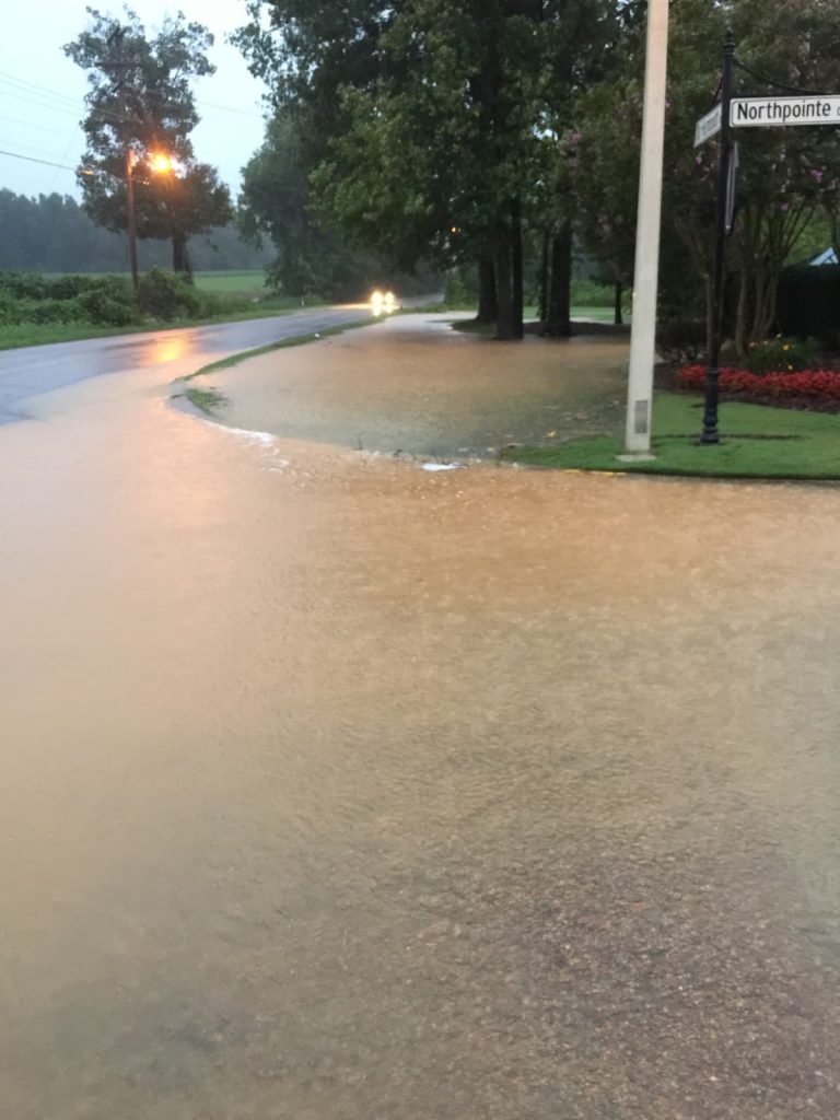
The heavy rain combined with high winds to make for dangerous conditions. Many neighborhoods reported water covered roads, JEA, Southwest Electric Co-Op and Gibson County Electric all reported customer outages. High winds took down limbs and trees, and there have been reports of damage to homes and buildings across the area.
The storms affects were not limited to Madison County. Tornado warnings were issued for Hardin, Chester, and McNairy counties. There was road flooding and wind damage reported and there are two unconfirmed reports of tornado touchdowns in Hardin county.
Schools in Madison county were closed due to the road hazards. There were several weather related vehicle accidents reported.
A Flood Warning continues for the Hatchie River…North Fork Forked
Deer River… S.Fork Forked Deer River and the Obion River until Saturday September 2.
Minor flooding is forecast.
The storm, once a hurricane, will continue to move north and east of our area. Temps are expected to be mild and the forecast for the weekend is calling for sunny skies.
Keith Sherley, EMAIL: [email protected]
TWITTER: @keithsherley